
%401x.png)

Every conversation in the built world right now starts in roughly the same place. ESG. AI. Carbon disclosure. Predictive maintenance. Humanoid robots on site. The list of incoming changes is long, the timelines are compressing, and the strategic questions land on the same desks: how do we get ready, what do we invest in, and what gets left behind when the ground shifts.
The question executives are starting to ask quietly is a more uncomfortable one. What sits underneath all of it? Because none of these trends, regulatory or technological, work without a foundation that almost no one in the industry has finished building yet.
Mark Eagar spends his days inside this question. As Global Director of Innovation and Solutions for Industrials and Commodities at Bureau Veritas, the 200-year-old French testing, inspection, and certification group with more than 85,000 employees across 3,500 offices, he sits at the intersection of standards, operations, and emerging technology. His mandate is not to incrementally improve what Bureau Veritas already does. It is to position the organisation for what the world looks like in 2030 and 2035.
“You can’t do any of those things unless you’ve got a solid digital framework for measurement. It’s only once you can measure process consistently that you can start associating value-added and non-value-added time. It’s only once you’ve got measurements and financials and the derivative over time that you can then start talking about sustainability.”
That is the shift this article is about. Not Spatial Intelligence as another point solution. Spatial Intelligence as the digital floor that every other ambition in the asset lifecycle is now trying to stand on.
From periodic inspection to continuous understanding
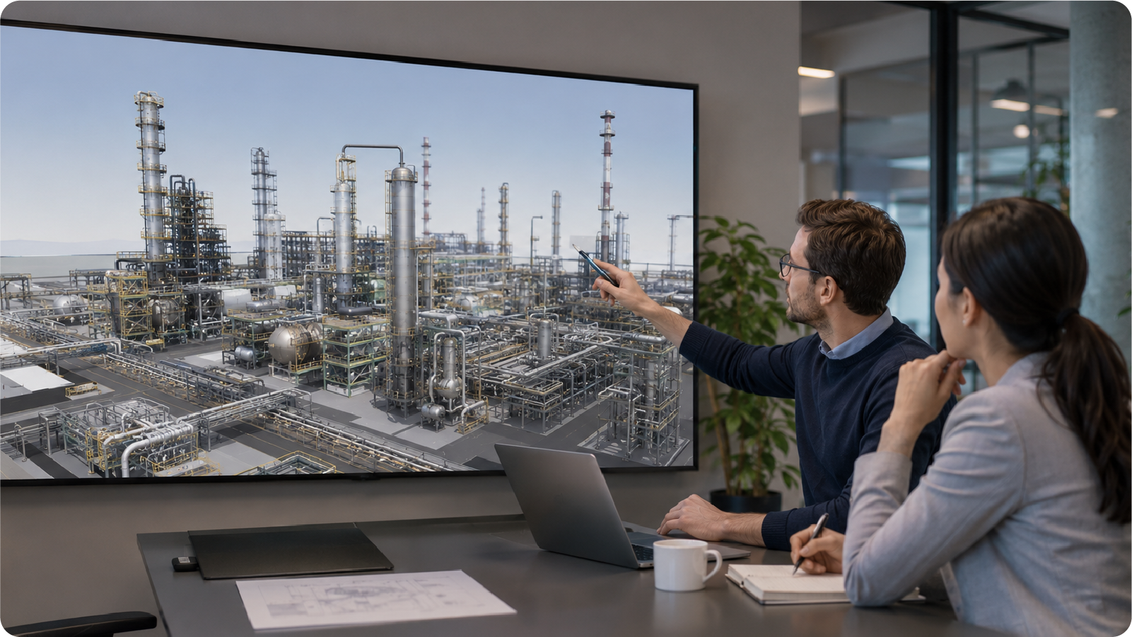
For most of the industry’s history, asset inspection has been a periodic event. A specialist flies to site, climbs structures, takes photos, writes a report. The deliverable is a PDF and a fitness-for-service certificate. The institutional knowledge captured in the visit largely walks back out the door with the inspector who did it.
Eagar describes the wind turbine job that captures the old model in a single anecdote. A traditional inspection in remote South Australia means a flight from Perth to Melbourne, a four-and-a-half-hour drive somewhere between Adelaide and Melbourne, half a day on site, the same drive back, then the flight home. Four days of travel for a few hours of work. Multiply that by every asset in a global portfolio and the cost of staying current with site reality becomes structural.
The shift Eagar is leading at Bureau Veritas reframes inspection as something closer to continuous understanding. Spatial Intelligence sits at the center of it. Inspectors do their normal job. The only behavioral change is pressing start on a 360 video at the beginning of a site visit and stop at the end. Everything captured in between becomes a navigable, geo-referenced, spatially aware digital asset.
That digital asset is the unlock. Once site reality has been captured spatially, internal experts can walk a site from another continent, customers can verify progress without flying out, and inspection deliverables stop being PDFs and start being interactive digital records. The cost of staying current with the asset drops, and institutional knowledge actually stays inside the organisation.
Beyond BIM, into intelligent modeling
The category Bureau Veritas is operating in is not BIM in the traditional sense. Eagar is deliberate about that distinction.
“We don’t do BIM modelling. We do intelligent modelling. We’re in the space of creating not digital twins, but digital assets.”
The difference is structural. A traditional BIM model describes design intent. A digital twin, in Eagar’s framing, has become a marketing term that internal teams and customers are tired of. What Bureau Veritas is building is a digital asset: a database structured against the BIM standard, ISO 19650, with a visualisation layer overlaid on it, and a flexible data structure that adapts to the regulatory framework of every country the organisation operates in.
This is where Spatial Intelligence does the heavy lifting. The capture creates the spatial backbone. The data structures bolted on top make every component on a site spatially aware, addressable, and connected to the documents, certificates, history, and decisions that surround it. From there, the model becomes something you manage information through, not just look at.
That distinction matters more than it sounds. “How do you manage process in 2026, and especially how do you manage process completely remotely from a completely different country?” Eagar asks. “The answer is, it’s how you manage your information. If I request a certain piece of information from you and I’m strategically smart about what I request, I can inadvertently force you to undertake a certain process.”
This is governance through Spatial Intelligence. Standardisation at global scale, enforced not by writing more procedures but by structuring the digital deliverable so the right information surfaces at the right point, every time, in every country.
The foundation everything else depends on
The case for getting this foundation right has very little to do with the technology itself, and everything to do with what it enables next.
Eagar is sharp about this. The conversations the industry loves to have, ESG metrics, carbon, sustainability, AI readiness, are not the conversations he leads with. Not because they don’t matter, but because most organisations are trying to have them on top of foundations that aren’t measurable yet.
“All of that stuff is great. But if you don’t have the basic building blocks in place, all of that stuff is completely irrelevant.”
The basic building blocks, in Eagar’s language, are exactly what Spatial Intelligence is for. A spatially digitised environment makes process measurable. Measurable process surfaces the difference between value-added and non-value-added time. That difference becomes the input to activity-based costing, which in turn becomes the basis for sustainability claims, ROI cases, and any serious commercial conversation about transformation.
Without the foundation, the rest is rhetoric. With it, the same organisation can move from ticking the regulatory compliance box to genuinely understanding how its assets perform over time.
There is a Detect dimension to this as well. Continuous spatial capture means changes get caught earlier. Quality issues, deviations between intent and reality, drift in the way process is being run on different sites: all of these become visible in a way that periodic inspection never made possible. The organisation stops finding out about problems through escalation and starts finding out through the data itself.

Augmenting an aging workforce
The transformation Eagar describes has to land with the workforce, and most of Bureau Veritas’s inspectors are senior. Forty, fifty, sixty years old. Decades of operational experience. Not the demographic that change programs typically design for.
The trap most digital transformations fall into is asking experienced people to learn new tools that fundamentally change how they do their work. The result is friction, resistance, and uneven adoption.
Spatial Intelligence flips that equation. The inspector keeps doing the inspection the way they always have. They keep their photos, their judgment, their routine. The only thing that changes is the act of recording 360 video while they do it, and the back-office process of writing the report afterwards.
“How can I design processes that have zero to no effect on the way they are currently doing their work? The only thing extra you need to do is press start record, go, and when you come back, stop record.”
The output changes even though the input barely does. Field time stays focused on judgment and expertise. Reports that used to take two hours of cutting and pasting become ten-minute reviews. The expertise of a 60-year-old inspector ends up captured in a digital asset the organisation owns, rather than walking back out the door at the end of a site visit.
What the foundation makes possible next
The technology landscape Eagar is preparing for is not a stable one. He is direct about that.
Spatial computing hardware is moving from research curiosity to mass-market product. Augmented reality glasses that overlay information on physical reality are landing this year. Humanoid robotics is on a faster commercial trajectory than most plans assume. Whatever the specific products end up being, the directional shift is clear: more of the work of running and maintaining the built world will happen through digital layers overlaid on physical ones.
None of that lands cleanly on an organisation that hasn’t done the spatial groundwork. The robot needs spatial context to navigate. The glasses need spatial anchors to display the right information at the right point. The AI assistant needs structured, addressable digital assets to reason against. The whole emerging tech stack assumes a Spatial Intelligence foundation underneath it.
The Protect dimension is the bookend. The spatial record being created during inspection today is also the defensible record that supports decisions years from now. As asset owners face more demanding disclosure regimes and more demanding clients, the question of what evidence stands up is going to get harder, not easier. Organisations with a continuous spatial record of how their assets are performing will be in a fundamentally different position than those still relying on PDFs in filing cabinets.
The category shift Eagar describes is not optional. It is happening, and the time to choose what foundation to build on is now, before the next wave of change arrives on top of it. Spatial Intelligence is not the answer to every question executives are asking. It is the floor those questions need to stand on. Whatever comes next, in 2027, 2030, or 2035, will assume the foundation has already been laid.
For the organisations that get this right, the next decade looks very different from the last one. For everyone else, it will mostly look the same, only more expensive.

